Ever wondered what skills are required to make Adelaide cooler, greener and wilder? Well, it’s certainly a diverse set. Of course, it’s important to know what greenery Adelaide is working with and where the gaps are – and that’s where our map nerd and expert Sarah White comes in.
Read on for a taste of what her role in data looks like and the journey that led her to join our passionate team here at Green Adelaide.
“The environment is our home, it’s where we come from, and I think we’ve become too disconnected from nature. We can’t forget that we’re part of the environment and it needs us to look after it too.
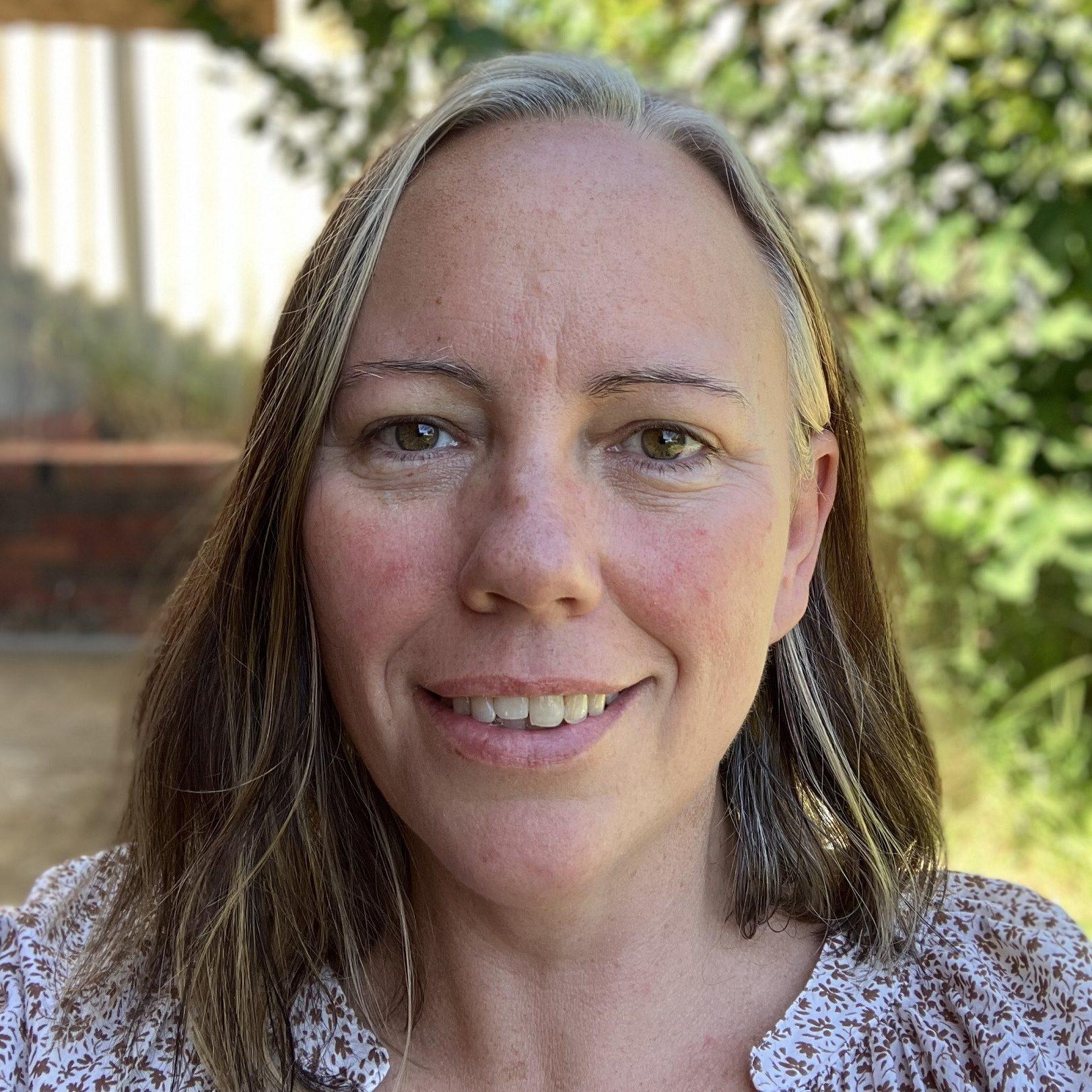
I’m the Regional Data Officer for Green Adelaide. That means I do anything from helping my colleagues with mapping and data requests to managing the Urban Heat and Tree Canopy Mapping project, which captured all of metropolitan Adelaide’s trees and hot spots in one project for the first time ever.
I also maintain our online database where Green Adelaide’s project managers store information about the activities they’ve done, who they’ve worked with and the areas where they’ve worked. This helps track our impact.
There’s no such thing as a typical day in my role, and I enjoy the variety of work.
On any given day, I could be creating maps of Adelaide’s tree canopy or helping staff manage their data in our online system.
Over the past few years, I’ve collaborated with staff from Adelaide’s 18 metro councils, the Department for Environment and Water, and other state government agencies on the Urban Heat and Tree Canopy Mapping project.
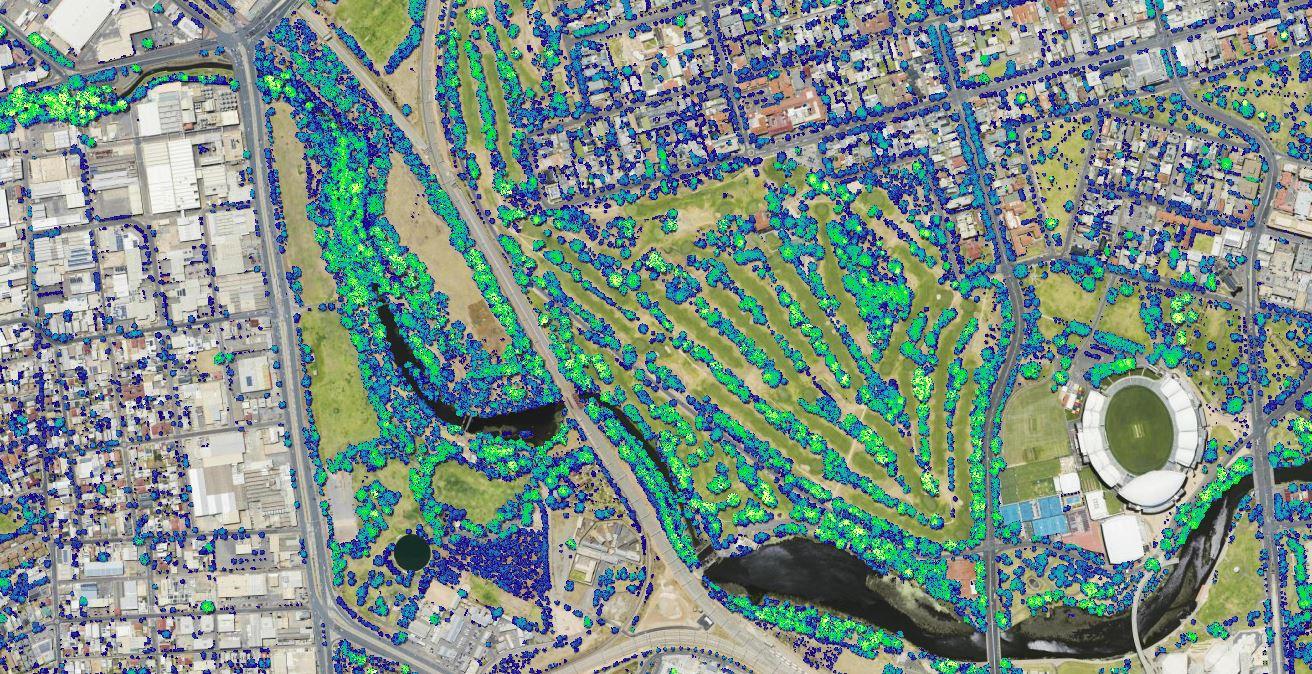
I’m also involved in a project with SmartSat CRC involving the newly launched South Australian Government satellite Kanyini. The project team is investigating ways to map how heatwaves impact Adelaide, and in particular the most vulnerable in our community.
My favourite part of my job is working with a great team and feeling like I’m contributing to making Adelaide a greener and more wildlife-friendly city.
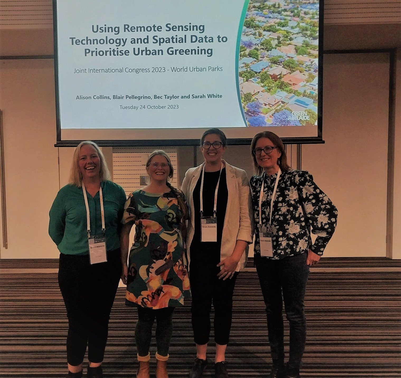
Seeing our data go live on the urban heat and tree mapping viewer and the Green Adelaide website was really cool. And then hearing from people across industries – from health to space – how they plan to use the data and apply it in new and exciting ways.
I’ve always worked in the environment industry, ever since my first job while I was at uni, which was with the Green Corps environmental program run by Conservation Volunteers Australia (see the 1990s section of their history).
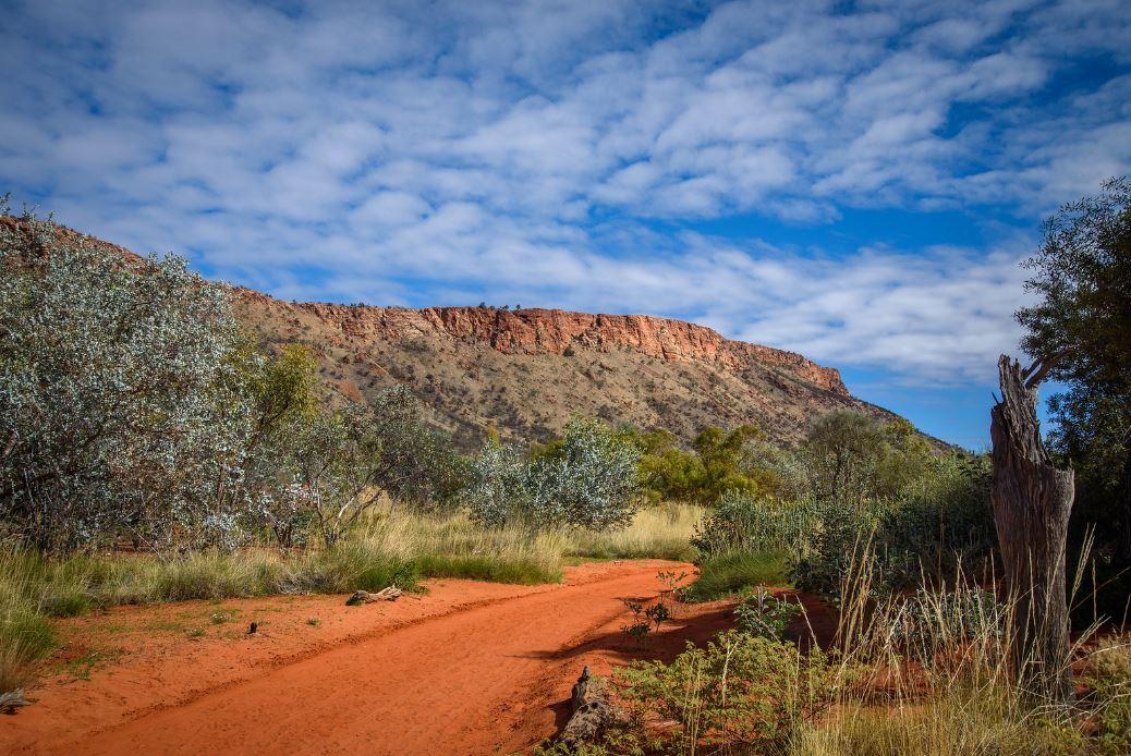
My jobs have kept me on the move from Murray Bridge to Alice Springs. I worked at the Alice Springs Desert Park, where I made sure our entire plant collection was mapped and all our actions to look after our plants and animals were recorded in ‘Living Collections’ databases.
Since returning to Adelaide 12 years ago, I have worked as an ecologist for EBS Ecology, working on remote mine sites in SA doing plant and animal surveys.
I then worked as a Geographic Information System (GIS) Analyst for Fugro, managing LiDAR and other mapping data.
LiDAR (Light Detection and Ranging) is a method which allows us to capture millions of point locations where a laser is bounced off the seafloor or a feature on the ground to create a very accurate 3D image.
The maps made from LiDAR data help plan for sea level rise and coastal storms, and make shipping safer. We worked all over the world, including Australia, Samoa and Abu Dhabi.
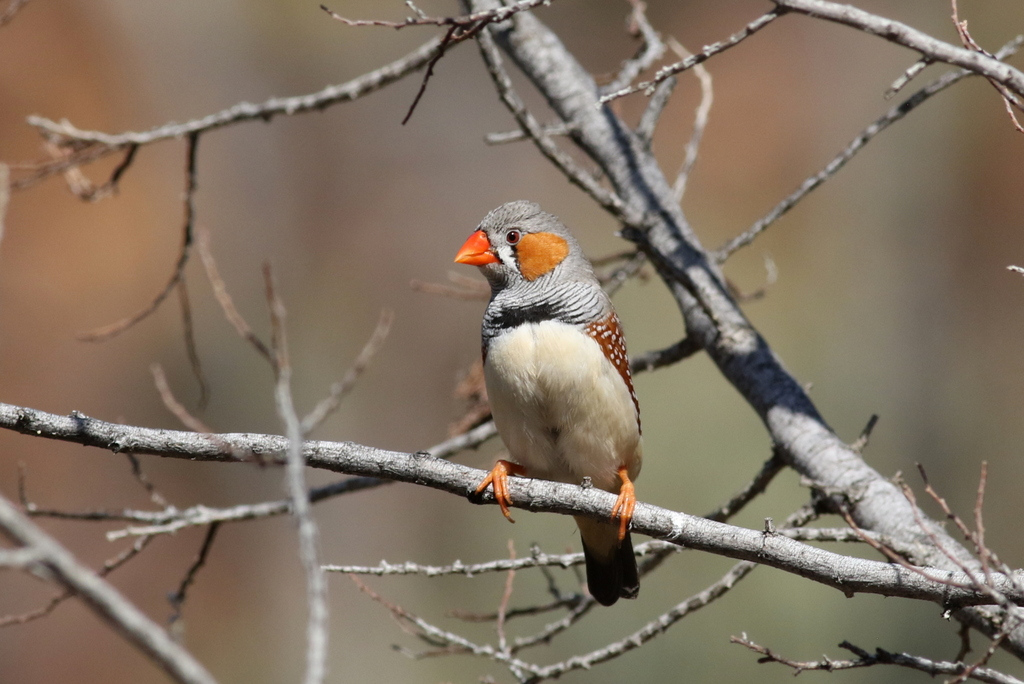
I have done so many cool things as part of my work and volunteering in the environment sector.
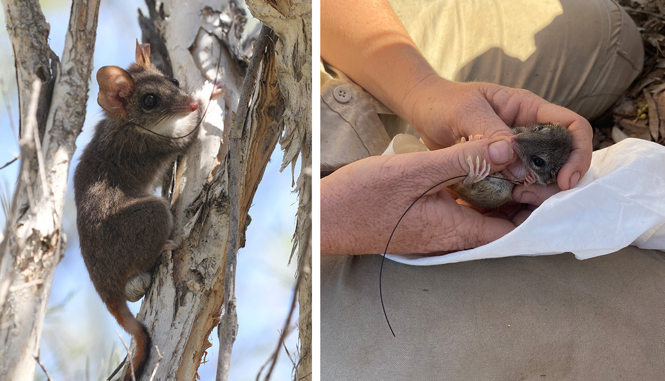
For example, taking part in monthly bird surveys and netting (to band and keep track of the birds) of beautiful species in Alice Springs, and helping pouch check the incredibly rare and incredibly cute red-tailed phascogales at the Alice Springs Desert Park.
Definitely the craziest thing was moving a very angry baby brown snake away from a pit fall trap line at Prominent Hill mine so it wouldn’t fall back in the trap. I’m sure anyone passing by would have thought we were crazy talking to the furious little snake, telling it how cute it was.
Travelling to Samoa to as a part of a team from Fugro to map their coastline as they plan for climate change was a highlight. Samoa went from one of the least mapped countries in the world, to the most accurately mapped country.
It was such a unique and special opportunity in a beautiful country.
I’ve always been a science nerd, and love anything space, extreme weather, volcanoes and earthquakes.
My first big love was great white sharks and I was studying at uni to be a marine biologist. But then, I took a semester off to do 6 months of environmental management work experience in Chambers Gully.
Through that, I fell in love with our unique and fragile, and tough ecosystems in Australia that are like nothing else anywhere in the world.
So, for the rest of my degree I focussed on ecology and environmental management – and then supporting ecological work through mapping and data.
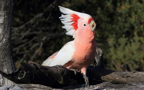
I’d say my favourite animal is the major Mitchel cockatoo (Lophochroa leadbeateri).
Seeing flocks of major Mitchells at Bookmark Biosphere near Renmark was what got me into bird watching.
My favourite plant would have to be the rock hills fuschia (Eremophila freelingii). It’s found on the most barren looking rocky hills around Alice Springs and yet it thrives and produces beautiful purple flowers.
Looking back at my wide-ranging career, it’s amazing that I’ve ended up back in Adelaide, applying everything I’ve learned to help look after our urban environment.
Want to work in the environment sector? Be inspired by the career journeys of our staff or tune in to our podcast – an enviro-exclusive on the people, projects, and news of metro SA. Our host, Communication Manager Melissa Martin, interviews a local expert each episode.